• Home
  • Galleries
    • The Clee
    • Radar Love
    • Wood & Water
    • Northumberland
    • Mist Opportunities
    • Semi-abstract
    • Cyanotypes
  • Prints
Julian Cartwright Photography
  • About
  • Contact
  • Alamy stock
  • Home
  • Galleries
    • The Clee
    • Radar Love
    • Wood & Water
    • Northumberland
    • Mist Opportunities
    • Semi-abstract
    • Cyanotypes
  • Prints
  • About
  • Contact
  • Alamy stock
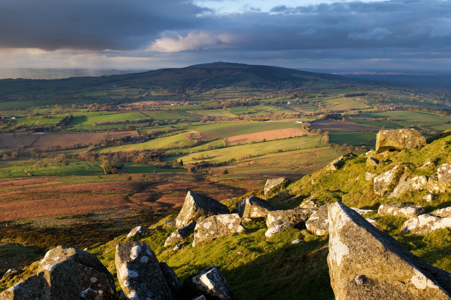
Brown Clee Hill, the highest point in Shropshire, viewed from Titterstone Clee Hill. Shropshire Hills National Landscape
1 / 12
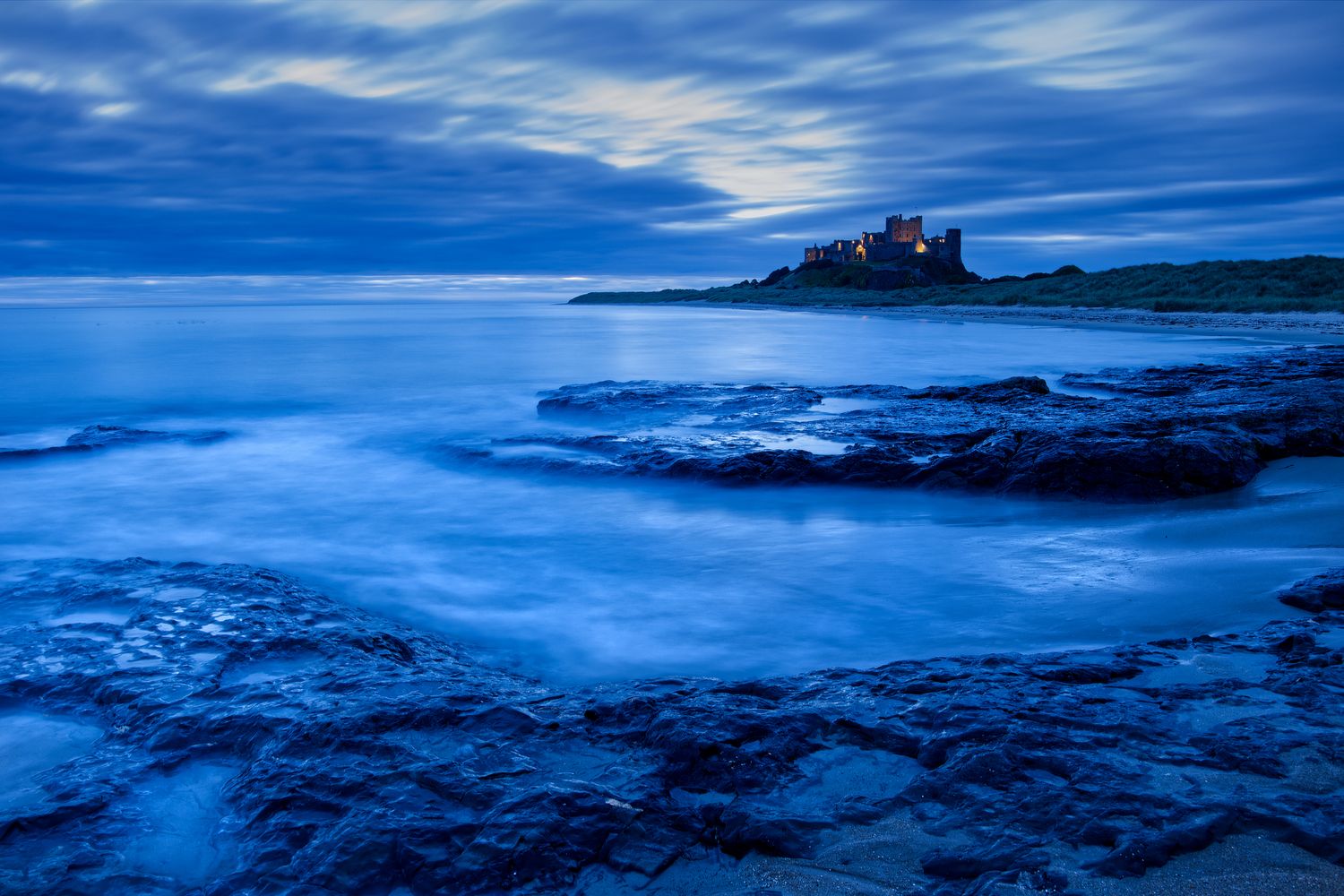
Bamburgh Castle, Northumberland, at Blue Hour
2 / 12
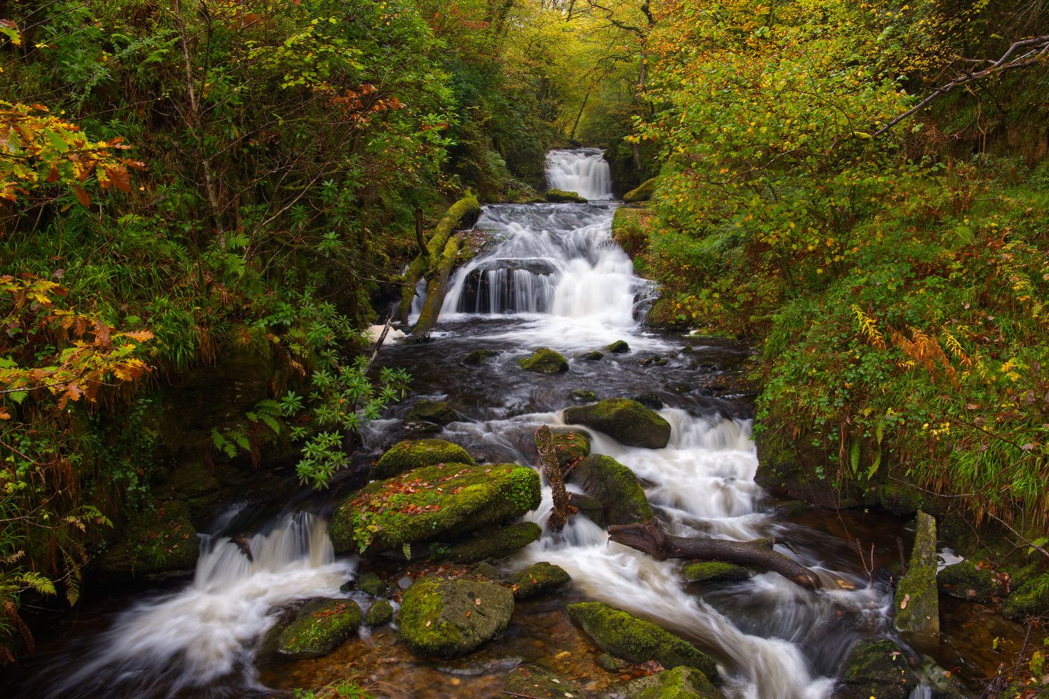
The waterfall at Watersmeet, near Lynmouth, Exmoor, Devon
3 / 12
Titterstone Clee Hill NATS air traffic control radar (a.k.a. the Golf Ball) with rainbow. Shropshire Hills National Landscape
4 / 12
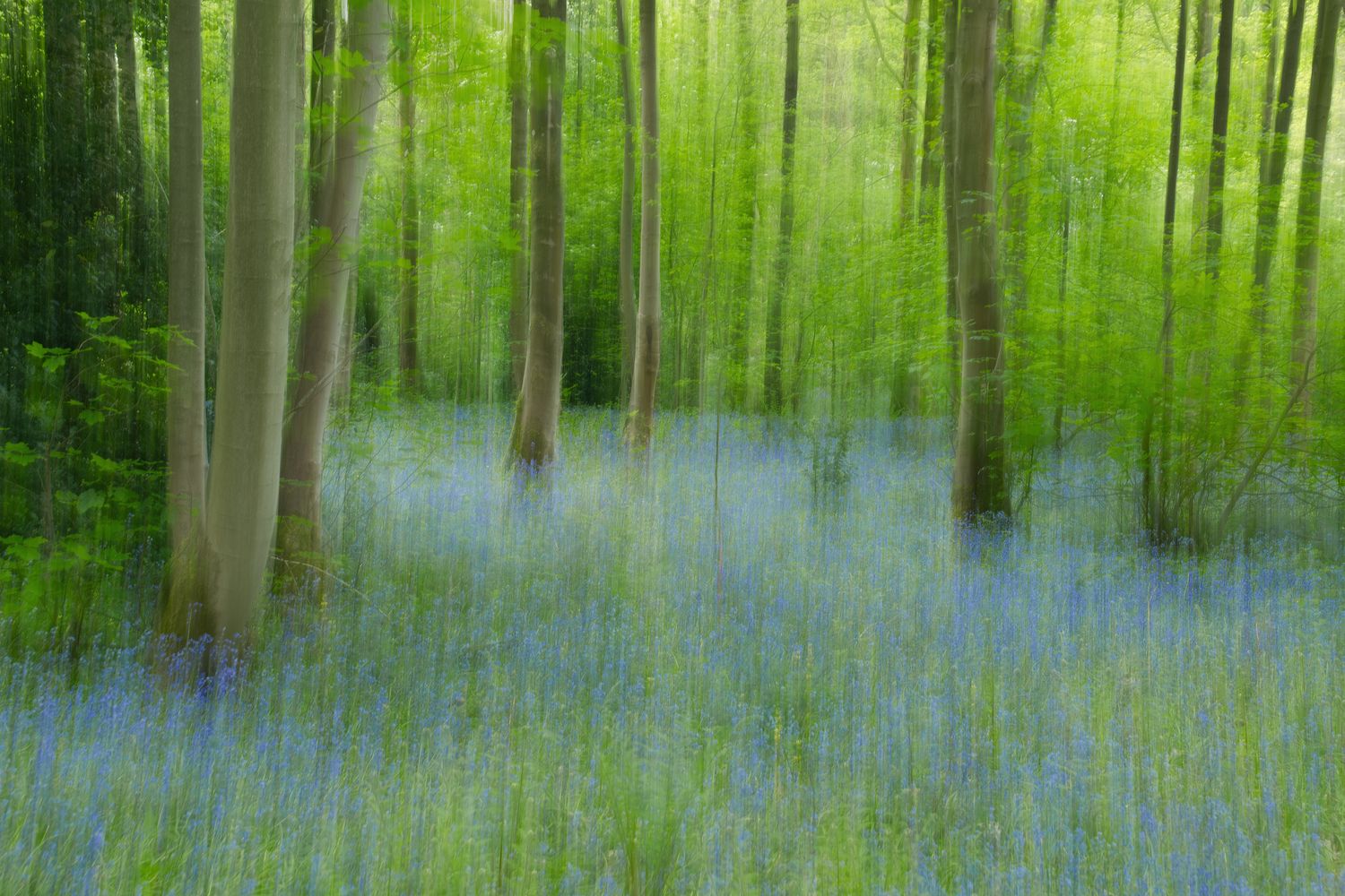
Bluebell wood ICM, Baggerdige Country Park, South Staffordshire
5 / 12
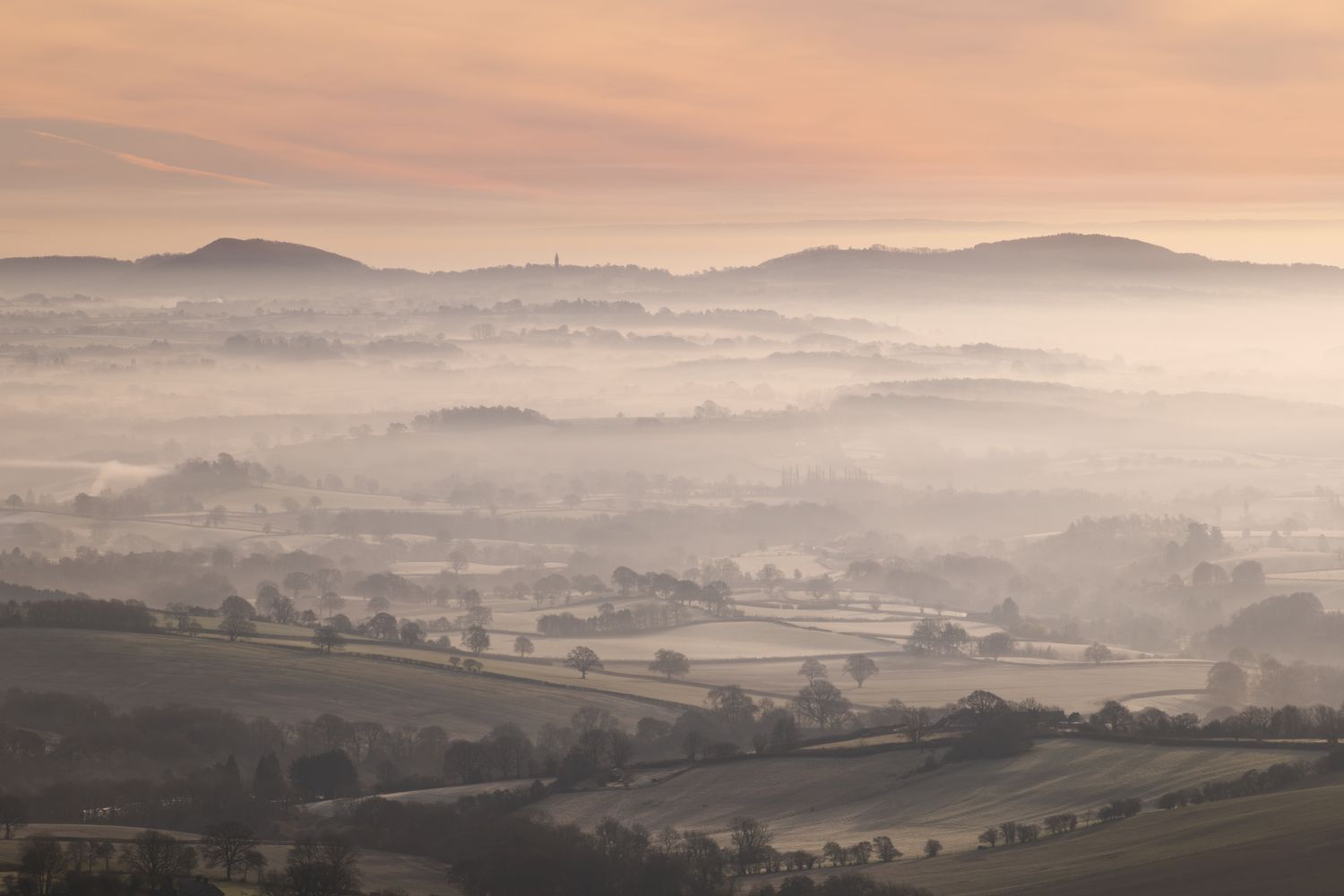
The Abberley Hills and clock tower at dawn, Worcestershire
6 / 12
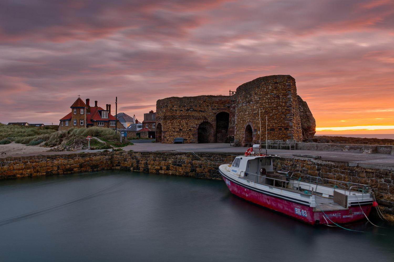
Beadnell Harbour at sunrise, Northumberland
7 / 12
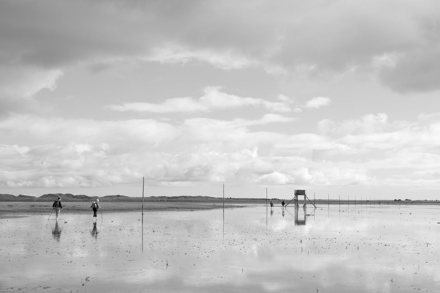
Walking the Pilgrim's Way to the Holy Island of Lindisfarne at low tide, across tidal mud flats
8 / 12
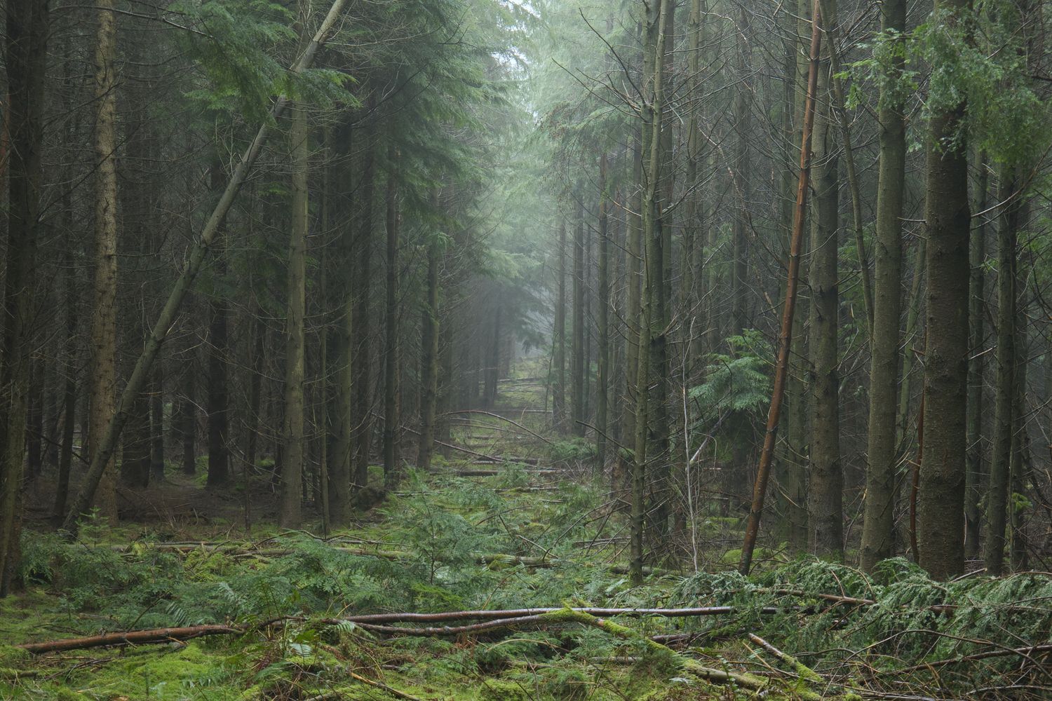
The dark, eerie confier plantation woodland of the Mortimer Forest on the Shropshire - Herefordshire border, near the town of Ludlow
9 / 12
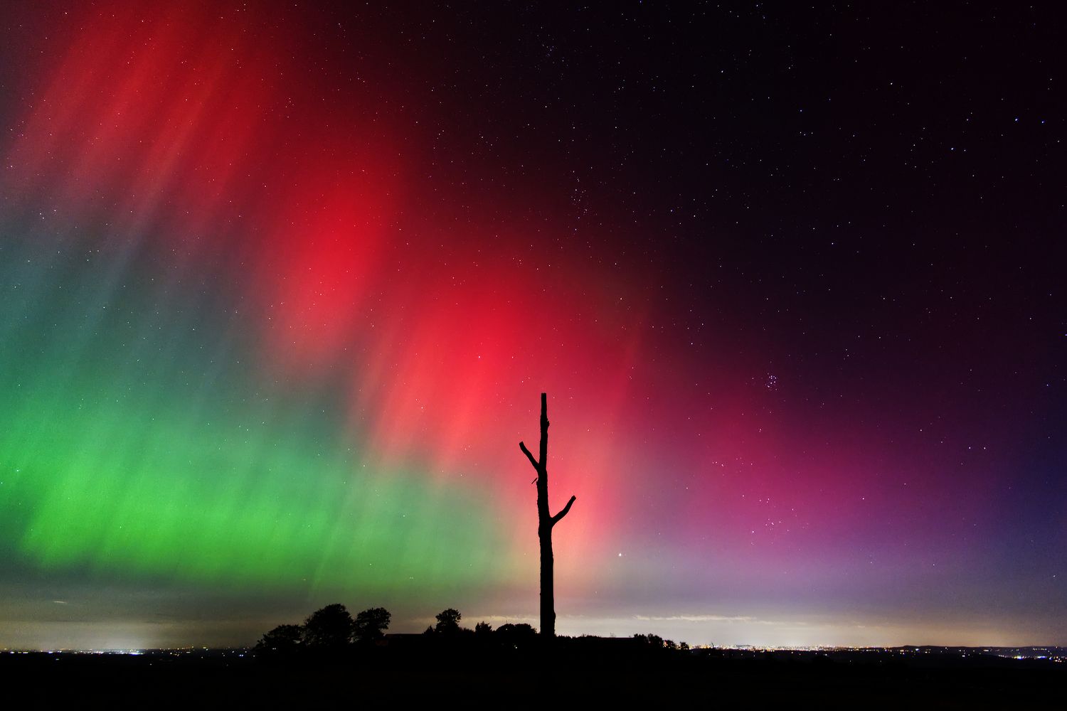
Aurora, or Northern Lights, visible at the Three Forked Pole, a land mark on Clee Hill Common, Shropshire Hills National Landscape
10 / 12
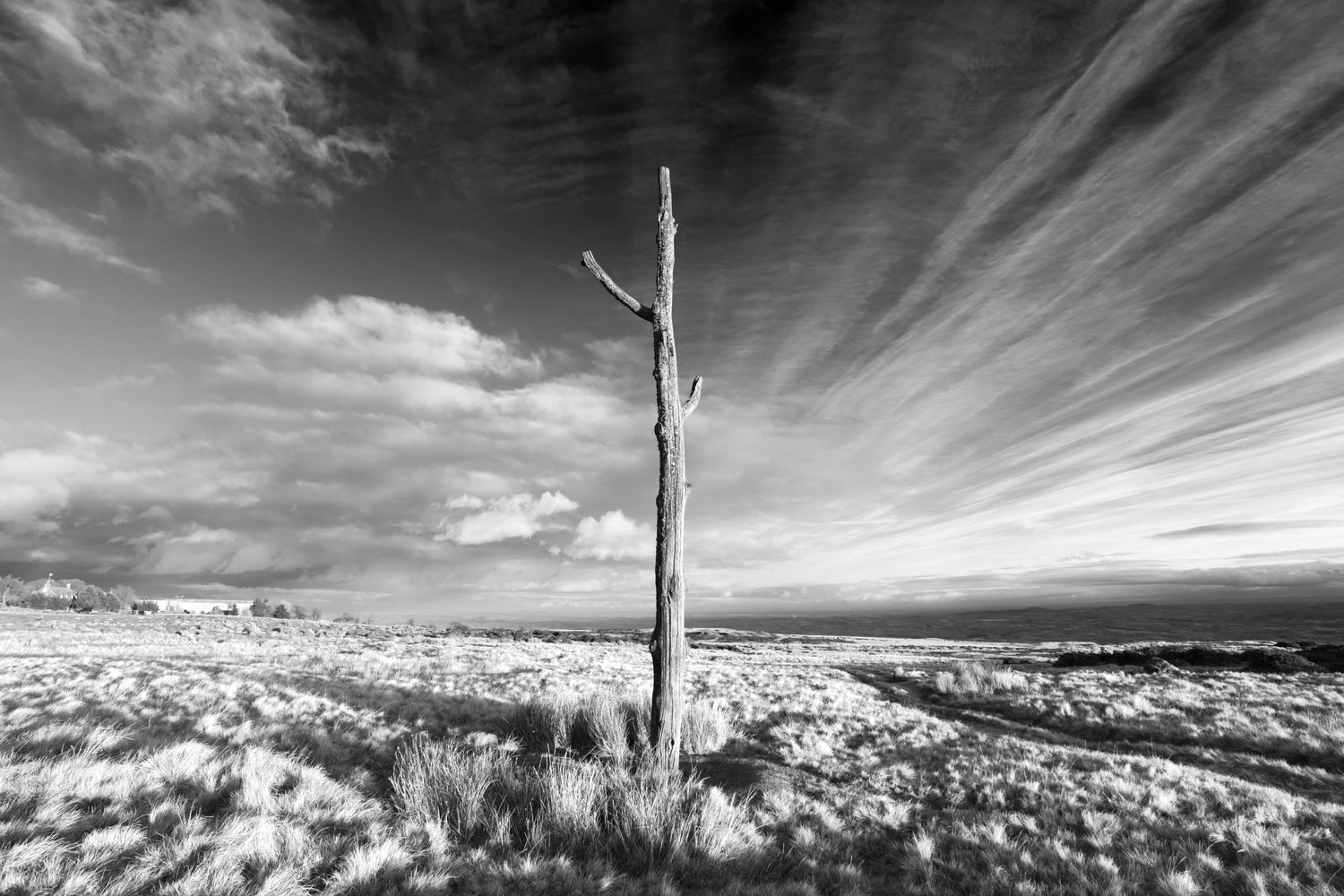
The Three Forked Pole, a land mark on Clee Hill Common, Shropshire Hills National Landscape
11 / 12
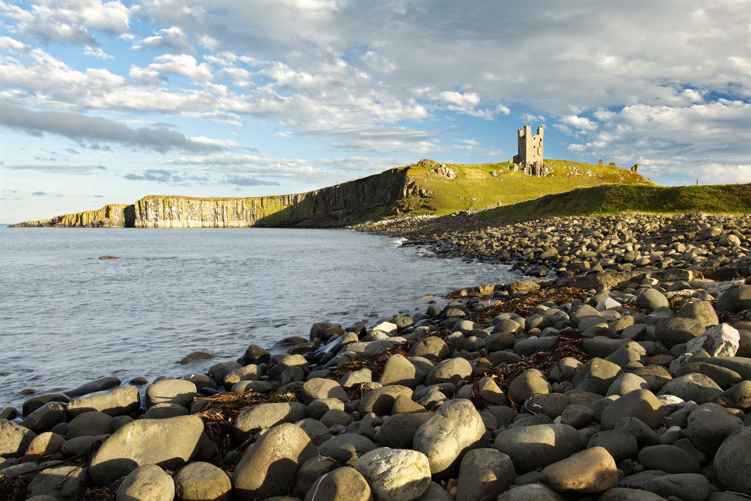
The ruins of Dunstanburgh Castle, viewed from Embleton Bay on the Northumberland coast
12 / 12

Instagram

@cartwrightphotos

All content Copyright © 2026 Julian Cartwright Photography

Facebook